

PAGE 1
|
|
|
PAGE 1 |
|
|
|
|
|
|
|
|
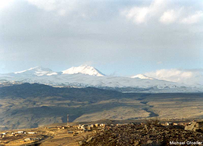
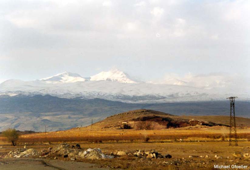
View of the mountain from the main Gyumri Highway near Ashtarak (S) |
View of the mountain from the main Gyumri Highway near Ashtarak (S) |
S summit of the mountain from the main Gyumri Highway near Ashtarak (SE) |
View of the mountain from the village of Hartavan (E) |
View of the mountain from the main Aparan Highway (E) |
|
|
|
|
|
|||
|
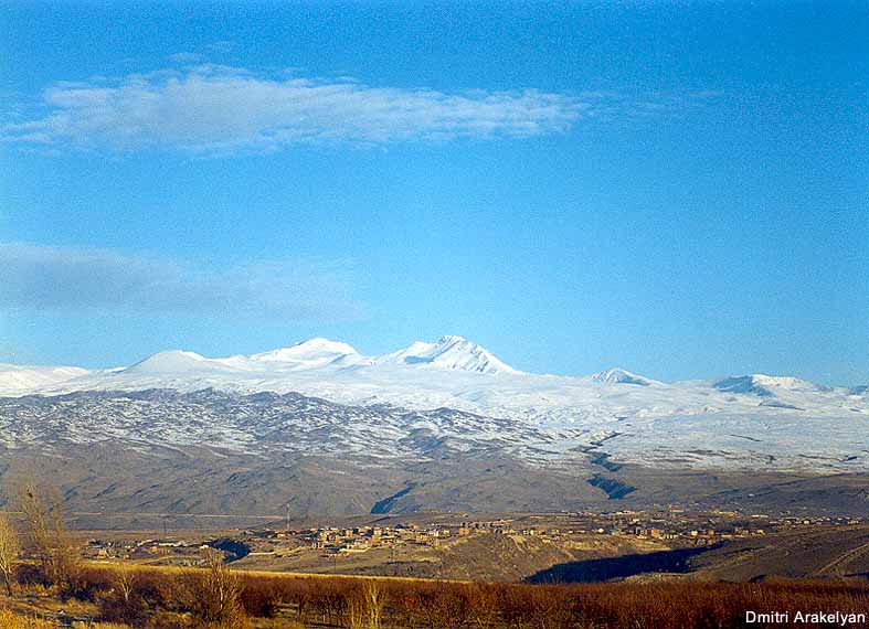
View of the mountain from the main Gyumri Highway near Nor Yerznka (S) |
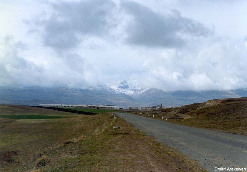
View of the mountain from the village of Dashtadem (SW) |
||||
|
|
|
||||
|
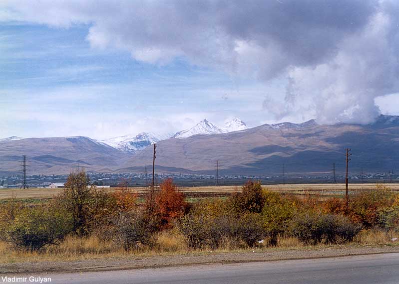
View of the mountain from Oshakan (SE) |
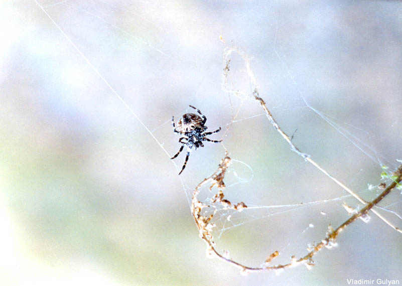
A spider |
||||
|
|
|
||||
|
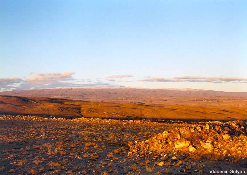
View of the mountain from the W slopes of the Arailer mountain (SE) |
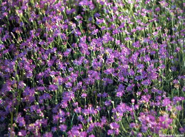
Field of wildflowers on the slopes of Aragats |
||||
|
|
|
|
|
|
|
|
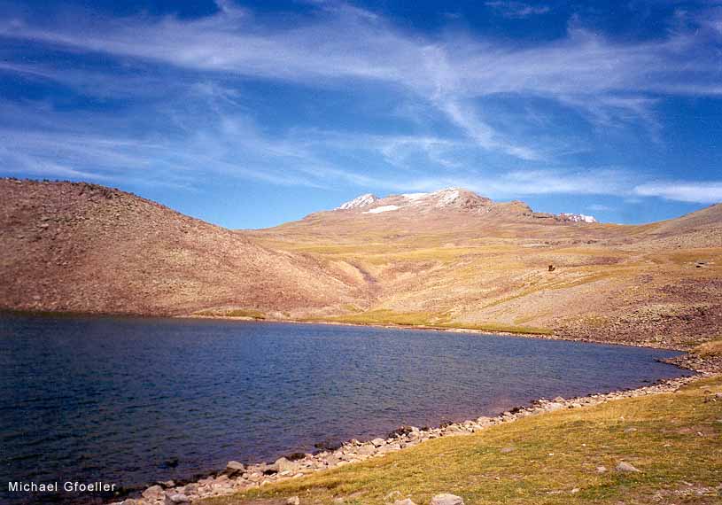
The Karilich lake on S slopes of the Mt. Aragats |
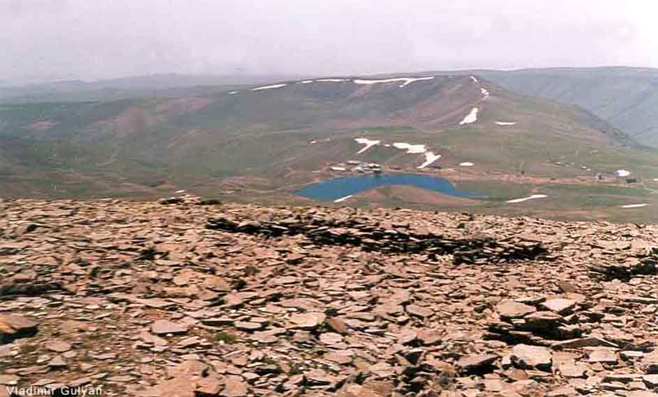
View of the lake from NW |
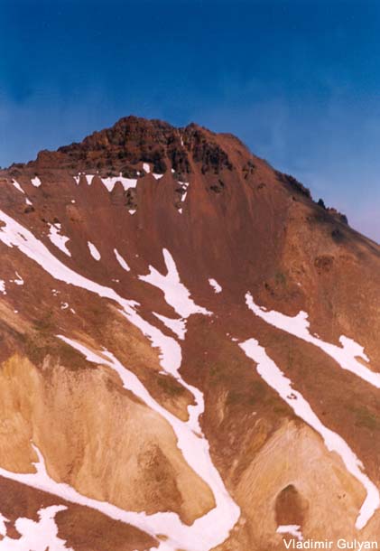
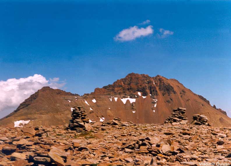
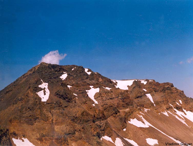
S summit of Aragats (W view) |
S summit of Aragats (W view) |
S summit of Aragats (W view) |
|