|
UNDER
CONSTRUCTION
|
Continuing NE, a few km
beyond Zovashen the road reaches a T, with a
fairly good asphalt road leading NNE (left), past an empty reservoir,
completed in 1982, to Sevaberd
(till 1948 Gharaghala, both meaning “Black Castle”).
There is indeed a black stone castle, or
at least the |
|
Continue the left fork from Kotayk to Kaputan,
with the tiny vertical two- story Kaptavank church of 1349 standing alone
on a tall hill NW of village. To
approach the church by car, turn right into the village, then take a dirt
road left that leads behind the church hill and past the cemetery.
|
UNDER
CONSTRUCTION
|
|
tumbled
stones from one, on the right through a hole in the fence as you enter
the village. There is another prehistoric fort about 3 km NE.
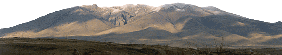
This upland village, end of the paved road and jumping off point
for the Geghama mountain range, survives on stock-rearing and wheat. Much of the population has emigrated, with 65 families remaining, 7
of which Yezidi. A bad jeep trail
leads E from the village to Aknalich (“White Lake”), about 15 km,
with fishing and reportedly splendid spring/summer wildflowers.
Above the lake toward Sevsar and Shekhichingil are spread out a
gallery of petroglyphs from the 6th-1st millennium
BC, including swastikas, hunting scenes, ritual dances, and mythological
images. Just N of the lake are
two fish-shaped vishap
(dragon stones).
|
|
|