|
UNDER
CONSTRUCTION
|
Continuing the main highway N from Ijevan the first
village is Getahovit
(till 1978 Tala).
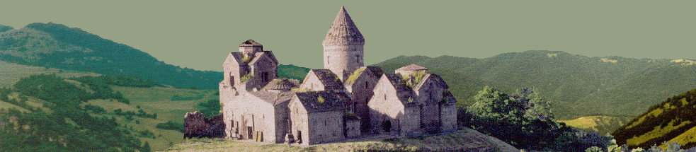
W of Getahovit is the ruined Iritsi Aghbyur medieval
settlement with church and cemetery. |
|
Yenokavan
(till 1935 Krdevan) lie N of the road, on either side of the
Sarnajur (formerly Tala) river.Yenokavan
was named after early Communist Enok Mkrtumian, who founded the
first party cell in the region. On the S edge of Yenokavan,
perched on a rock overlooking the scenic gorge, is a small
church with medieval tombstones.
About a km S,
|
UNDER
CONSTRUCTION
|
|
|
|
down
inside the gorge, reachable only on foot, is an Astvatsatsin
church of the 13th c.
Some 17 km W is the Okonakhach church. There are
anciently inhabited caves in the river valley.
At the NE end of the village overlooking the gorge is the
6-5th c. BC Astghi Blur with cyclopean walls and a
huge tomb field. The main dirt road through Yenokavan bears
right and up the ridge, traversing the starkly
beautiful mountain pastures of the Ijevan Mt. Range. This road, passible April-November (barely) by street
car, serves various yaylas
inhabited only in summer, and leads in some 66 km to the main
Azatamut-Noyemberian road just S of Noyemberian.
This may be the best road to Samsoni Vank. Eight km NW of
Yenokavan on this road, atop a hill, is Berdategh Early Armenian
cyclopean fortress. |